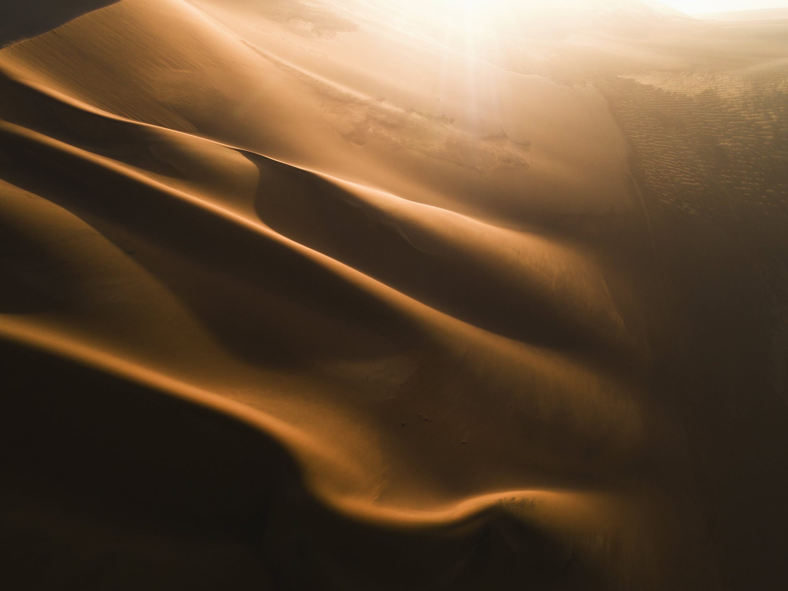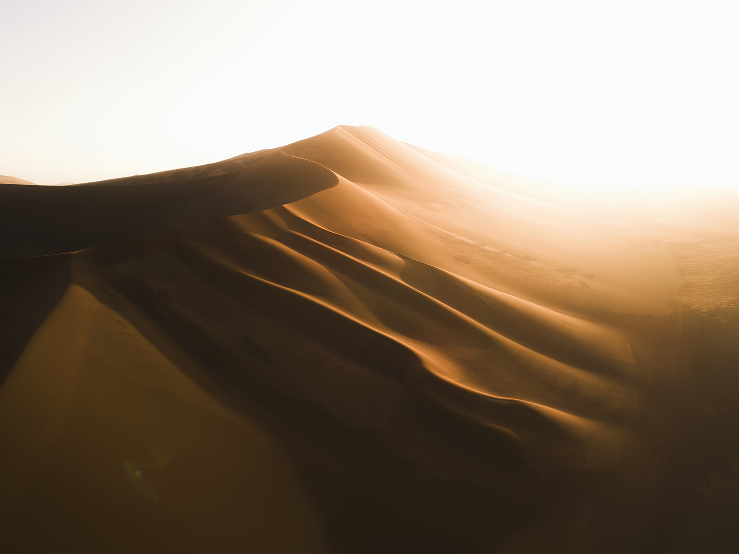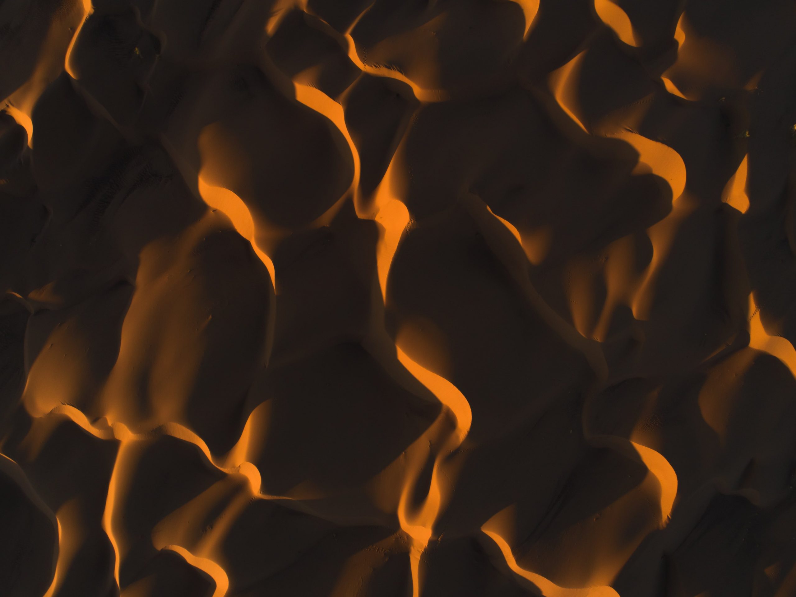
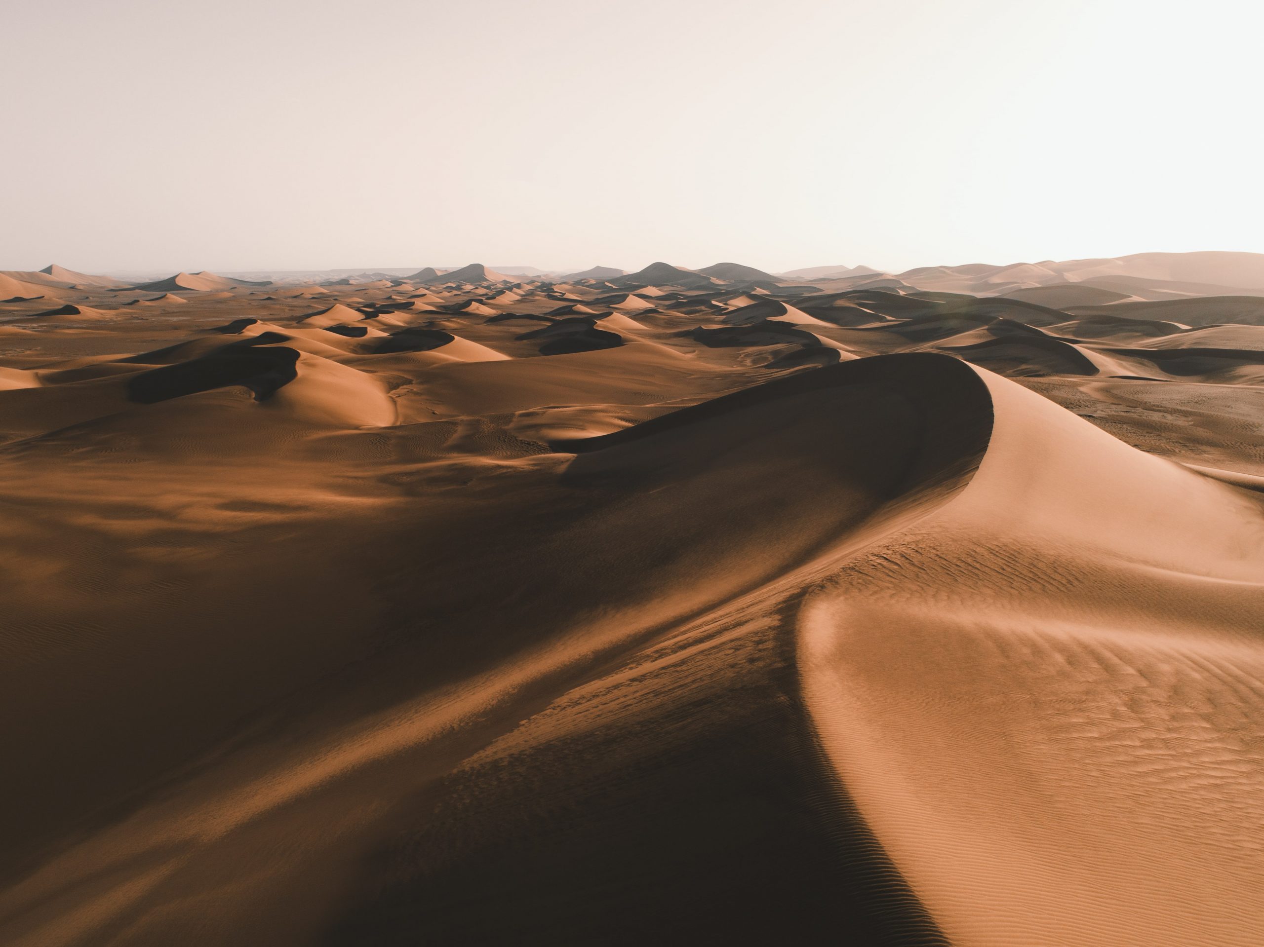
Iran's geography consists of a plateau surrounded by mountains and divided into drainage basins. Dasht-e Loot is one of the largest of these desert basins, 480 km long and 320 km wide, and is considered to be one of the driest places on Earth. . The eastern part of Dasht-e Loot is a low plateau covered with salt flats. In contrast, the center has been sculpted by the wind into a series of parallel ridges and furrows, extending over 150 km and reaching 75 metres in height.This area is also riddled with ravines and sinkholes. The southeast is a vast expanse of sand, like a Saharan erg, with dunes 300 metres high, among the tallest in the world.

Getting confused with "Dahst-e Kavir" and called "Kavir-e Lut", due to their similarities, Lut Desert is the first wide desert in the south-east of Iran and one of the hyper-hot and arid deserts around the world; Extended across three provinces of south Khorasan, Sistan & Baluchestan and Kerman, it has covered about 10 per cent of Iran’s extent. It was measured as the hottest spot on the planet in 2005, 2006, 2007 and 2009 by situating in geothermal pole of the earth. Also, it has recorded as the hottest spot in all around the earth planet with 70˚C temperature in 2005. Lut desert is divided into three geographical landforms: Northern Lut constituted of the elements of gravel and sand; Central Lut, as the most amazing part with highly astonishing phenomena in the world like Kaluts (Natural ridges in various forms resulted from the water, wind and erosion mechanisms), as well as the masses and huge sandy dunes; South Lut with the richest vegetation.
Measurements of MODIS (Moderate-Resolution Imaging Spectroradiometer) installed on NASA's Aqua satellite from 2003 to 2010 testify that the hottest land surface on Earth is located in Dasht-e Lut and land surface temperatures reach here 70.7 °C (159.3 °F), though the air temperature is cooler. The precision of measurements is 0.5 K to 1 K.